Here at Dog Friendly New Zealand, we’re all about getting out and exploring all that our beautiful country has to offer. Especially, doing it all with your best four-legged friend by your side.
As schedules are tight and life gets busy, we often find ourselves sticking to the same walking route, heading to the same dog park or spending the day at the same dog friendly beach as usual. We are creatures of habit and for this reason, rely on you guys: our community of pup parents and dog lovers to help broaden our horizons. We are always inundated with cafe recommendations and accommodation requests from our followers and every now and then, sent through a great dog friendly roadie from the top of the country to the bottom or a new favourite hike or adventure.
We’d like to thank Jay French for his contribution to Dog Friendly New Zealand, enlightening us with stunning imagery and dog friendly spots we can’t wait to visit. Read on to check out his recommendations for a few South Island adventures with your pup!
Lake Emma
South Canterbury
For the track that I did, head out towards ‘Lake Camp’, on the road to Lake Clearwater. Once you get to Lake Camp, there’s a little shingle access path just on the left hand side of the road on the near side of the lake that leads along the tree line. Head down that road, it ends up at a parking space where the trail starts.
Time: 4 hours return.
2 hours there, 2 hours back. With dog, photos and a little detour up the hill.
Difficulty: Easy.
Dogs: Under effective control.
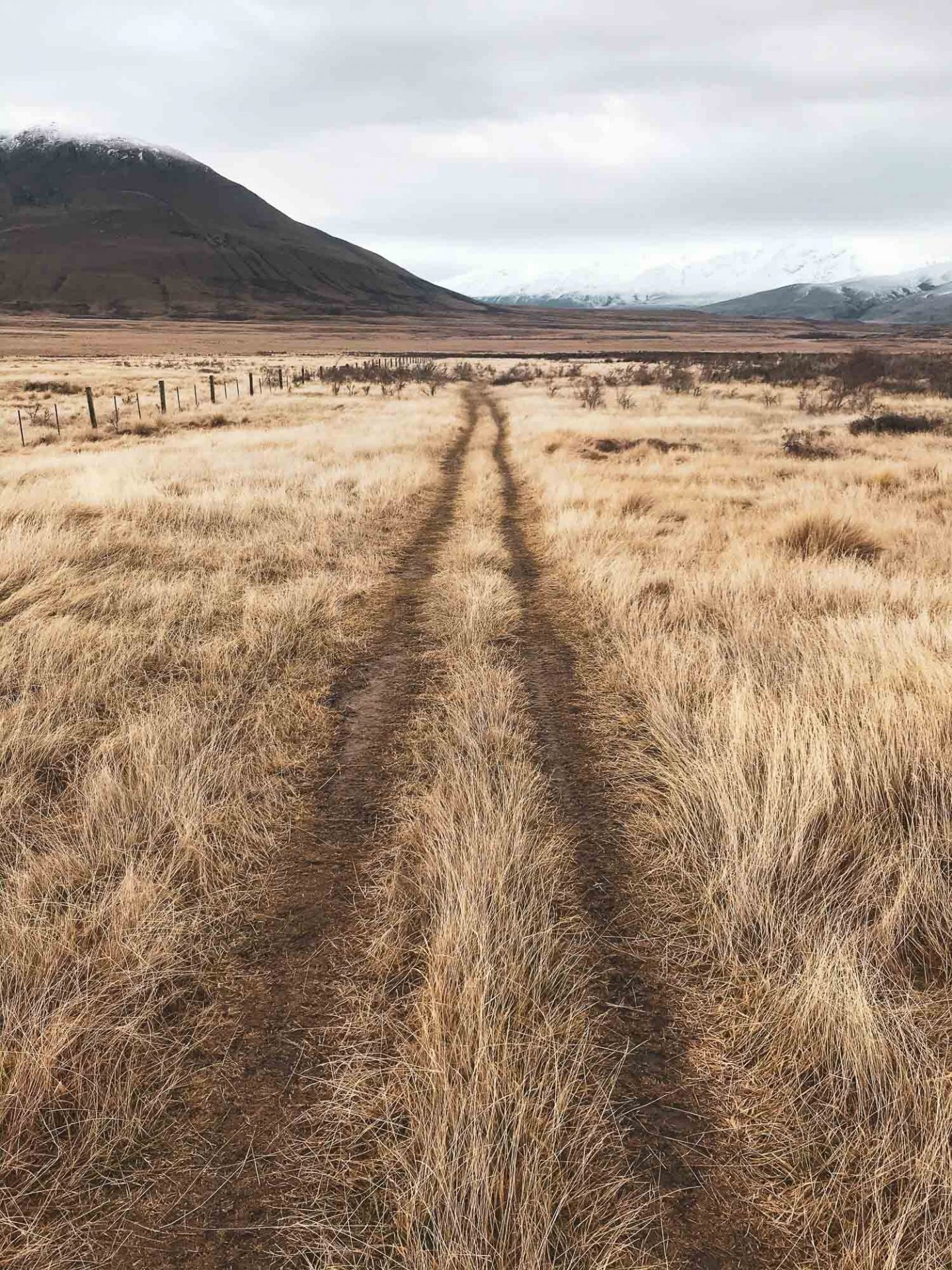
This was a pretty flat and easy one. It was the middle of winter. It had been raining in Christchurch for weeks and I just wanted to get out to somewhere the rain wasn’t. I had planned a potential route up Mt Harper (the mountain behind the walk) but decided against it when I arrived and saw how much snow was up there and how late in the day it was.
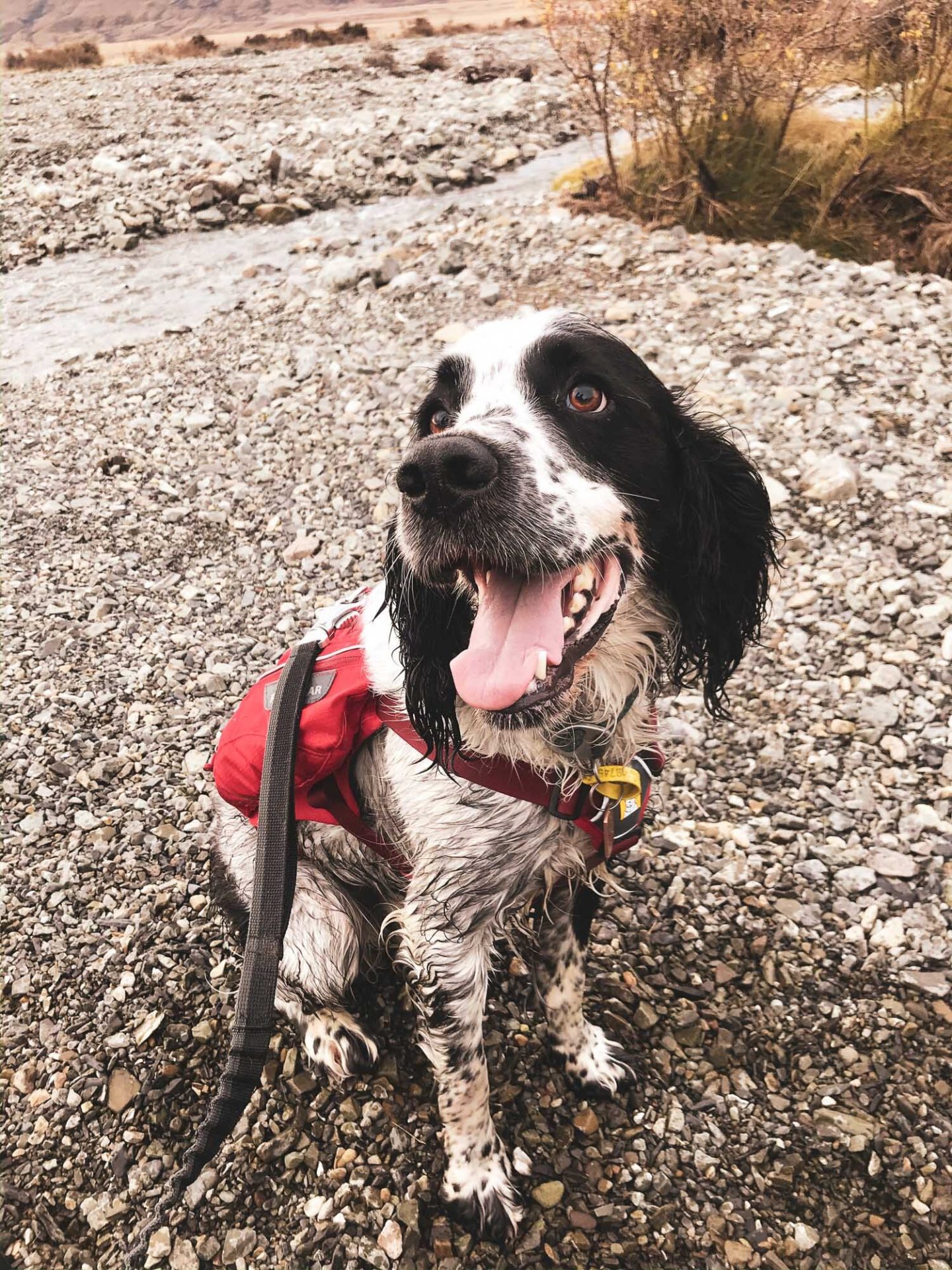
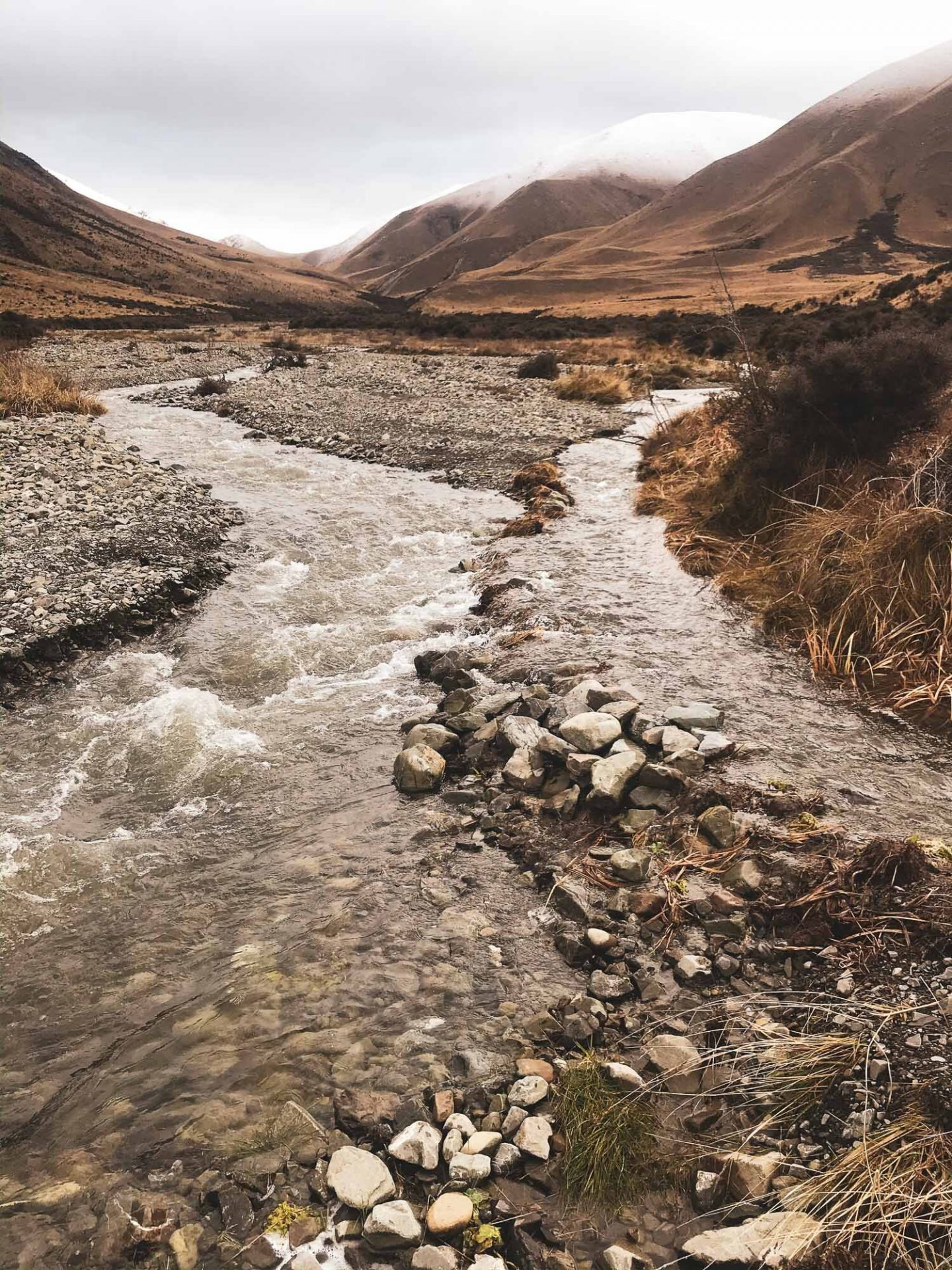
I decided to take the marked trail from Lake Camp and round to the Lake Emma Hut. Good distance, about 15km. The terrain is easy no steep bits, no gnarly bits, EXCEPT there’s a river crossing that also ran down the path for a bit. Not sure if this is always there or if it was just the time of year and the weather conditions.
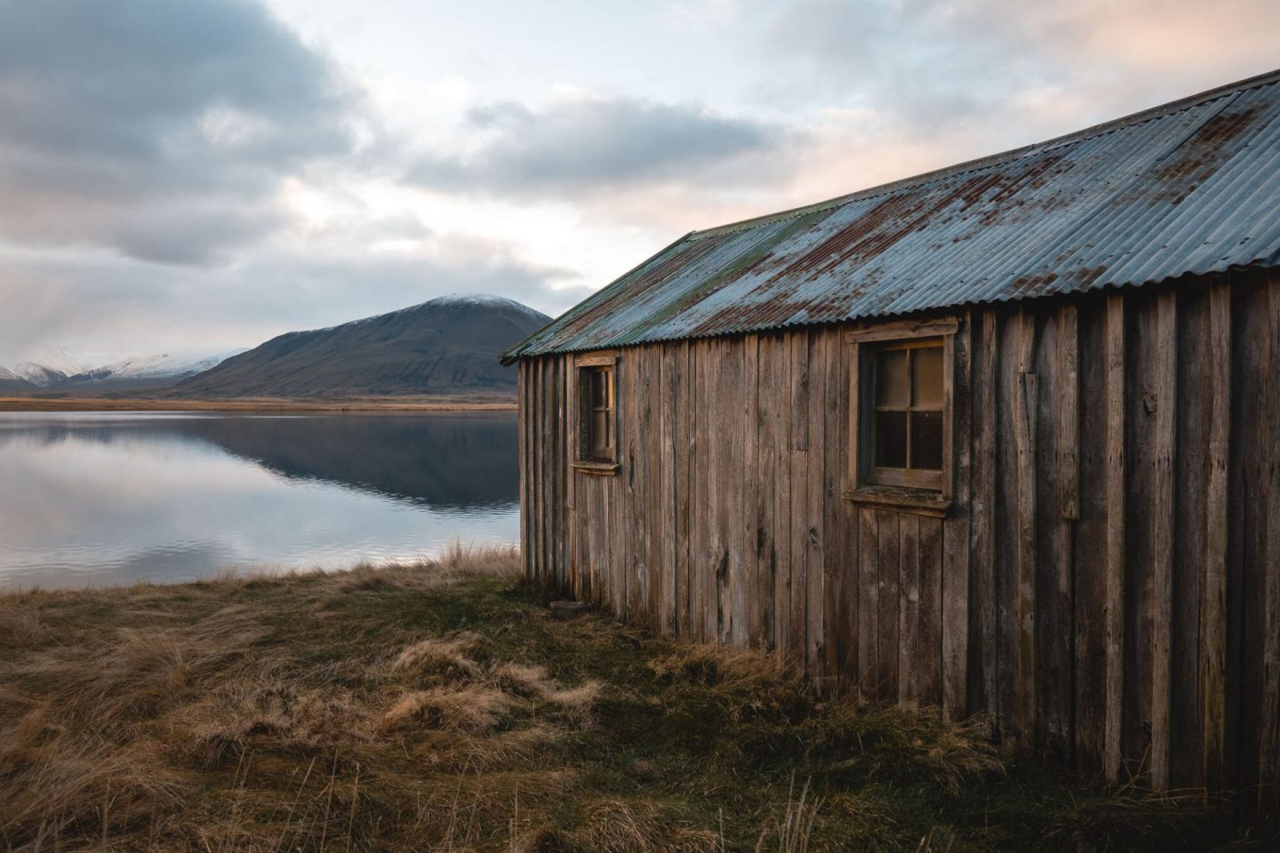
You very well may get wet feet here. It was a very quiet day, very still, no-one around (which was good because Charlie was barking a lot, he seemed very excited to be out on this walk).
Note: They really don’t want you to have your dog at Lake Camp or Lake Clearwater. There are lots of signs telling you that. You can take your dog on the hike, but he’s not welcome by the lake!
Rabbit Hill
Mid Canterbury
A couple of options here, I chose to come up from the Starvation Gully entrance.
Looking for the beginning of the ‘Trig M’ route. These coordinates will take you to the exact place to park: -43.294531, 171.726652
Time: 4.5 hours return.
2.5h up and 2h down. The track undulates so there are uphills both ways.
Difficulty: Easy (However no route markers past ‘Trig M’).
Dogs: Under effective control.
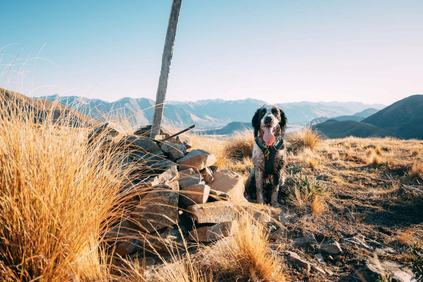
There are two variations available for access to this spot. Starvation Gully from the Lake Lyndon side, or Coach Stream for a longer walk from the Springfield side. I chose the Starvation Gully route for it being more direct. The walk itself is not too hard or steep, mainly shingle and farm track as far as ‘Trig M’ and then you’re choosing your own route after that as you make your way to Rabbit Hill. There are a few pinchy climbs, but nothing too strenuous, especially if it’s dry like it was for us. The ‘Trig M’ peak is actually higher at 1251m than Rabbit Hill at 1198m.
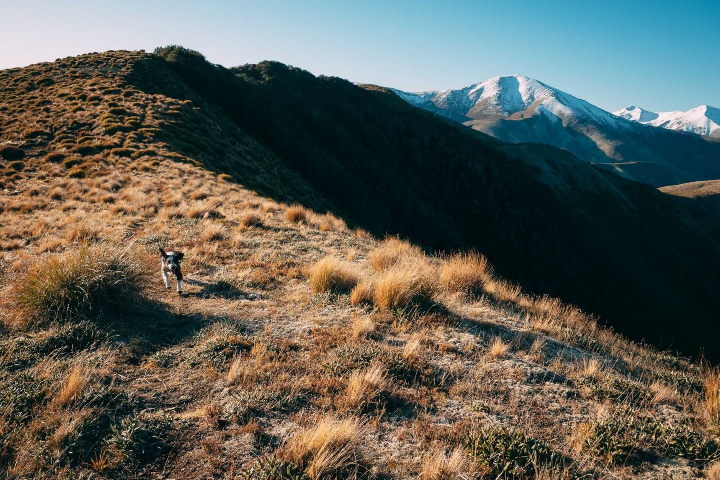
Note: there is a muddy bog in the saddle just before you head to the summit of Rabbit hill, as you will see Charlie really liked this, but you might want to bring a towel or something for the car or tent afterwards.
As seems to be a theme at the moment, we hiked up late in the day to stay for sunset and cruised on down in the dark. As soon as that sun drops, it gets really cold.
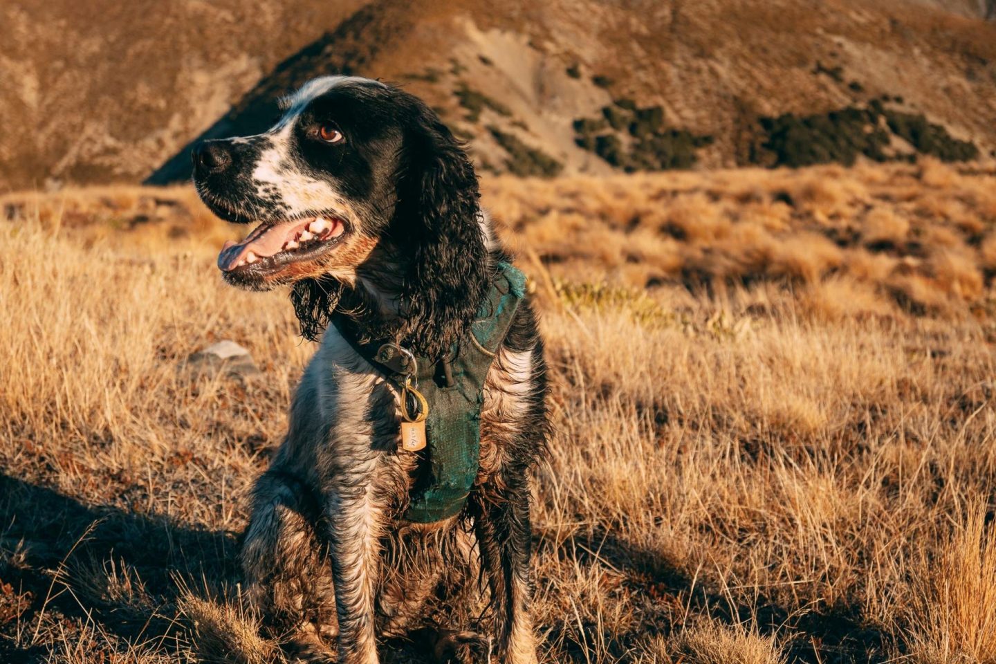
Enjoy some beautiful scenic views from the top.
Craigieburn Forest Park
Mid Canterbury
Find ‘Craigieburn Forest Park’ on Google Maps, drive there, about 90min from Christchurch – don’t forget to stop for a pie in Sheffield on your way. Park at the bottom carpark by the gate on the Craigieburn Access Rd. You can also access from the Broken River side, but I prefer this spot.
Time:: 3.5 hours return
2.5 hours up, 1.5 hours down.
Difficulty: Easy (mainly).
Dogs: On-leash only.
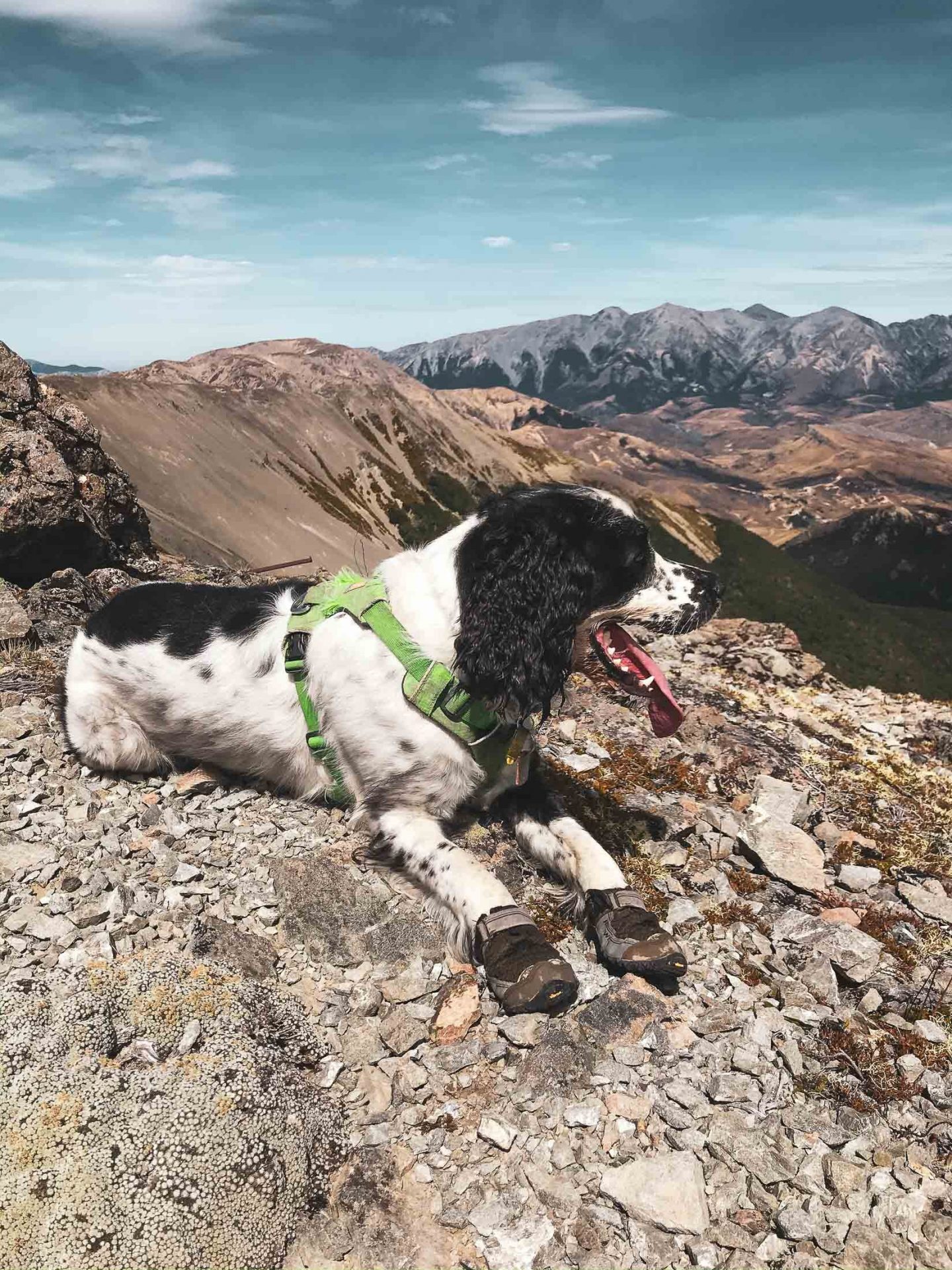
We chose to walk up the road, as it is closed (off season) which was an easy climb. Once we got to the top we chose the ‘Edge track’ – watch out for Mountain Bikers though, this is a pretty popular trail. We also stopped at the Camp Saddle and walked up the scree to the tops, for a bit of extra gnar and some great views.
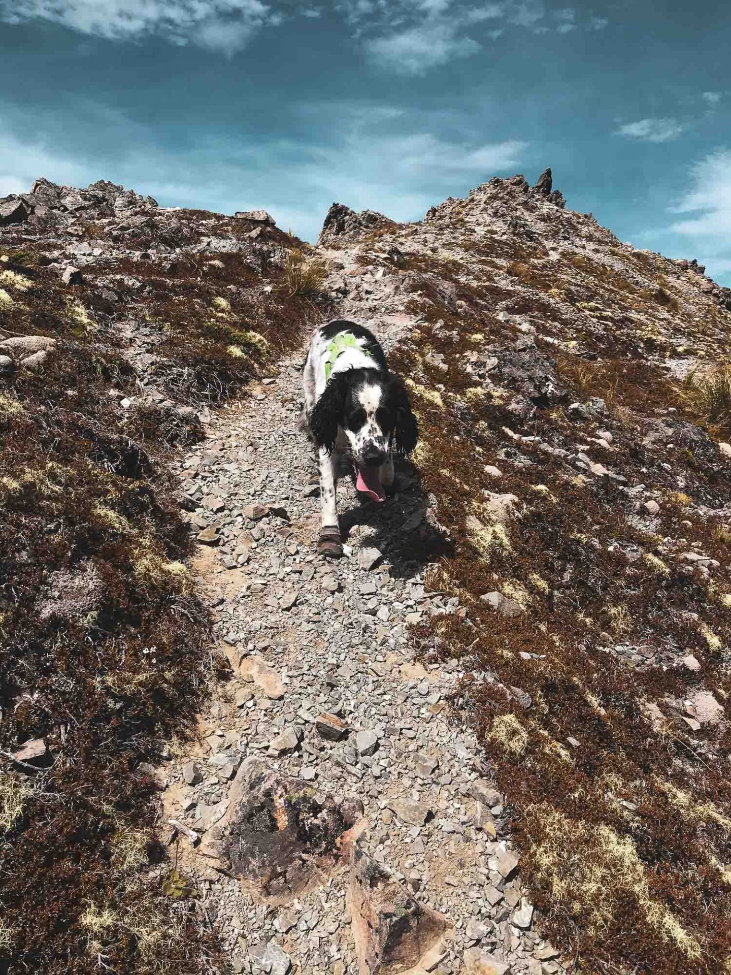
No reception for cell in most of this area, ski area in winter, popular MTB destination in summer.
Multiple other trails for walking in this area.
To read more on Jay and Chalie’s other dog friendly hikes and adventures, check the duo out here.
